Guide
Flood zones and flood maps around Kyle
A flood zone is a line on a federal map. Whether your house sits on one decides what your lender, the city and your insurer ask of you.
Connects you with an independent restoration contractor.
Where the official maps are
The Federal Emergency Management Agency publishes flood insurance rate maps through its Map Service Center, where you can search by address. Maps change as studies are updated, so look for the effective date on the one you use.
FEMA's FloodSmart site explains flood insurance and how to find a provider. The Texas Department of Insurance says flood policies usually carry a 30-day waiting period.
Ask the city
The City of Kyle's Office of the City Engineer is the place to ask whether your address is mapped in a floodplain.
What Kyle and Hays County require
The City of Kyle's engineering page says a Floodplain Development Permit application is completed before submittal, and it links the permit form. Kyle has adopted the City of Austin Drainage Criteria Manual with local changes for drainage design.
Hays County's floodplain page says development inside or outside a floodplain needs a county permit, and the City of Kyle's office of the city engineer is at 100 W. Center Street, 512-262-3958, for questions inside city limits.
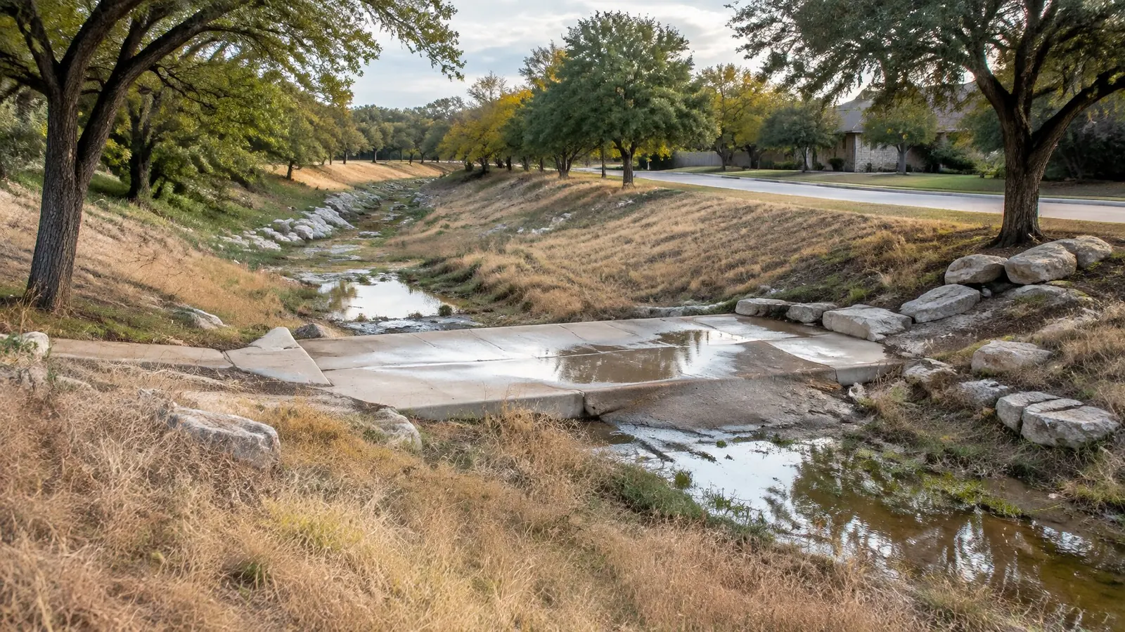
Kyle has changed its approach to drainage since the October 2015 flood, with a stormwater utility and a dedicated crew. See the drainage fee and dams page.
What the maps do not tell you
A property outside a mapped zone can still flood from heavy rain, a blocked drain or a storm sewer that cannot keep up. The City of Kyle describes the October 2015 flood as 17 inches of rain in about a day.
Flood policies cover rising water. Home policies do not, according to TDI. Mold after a flood is not covered by a home policy either, because the flood is not.
Dams and alerts
Kyle lists five dams inside the city and asks residents to check whether they are in a potential inundation area. The city reports no current risk of dam failure.
Sign up for alerts at WARN Central Texas. Do not drive into flood water, the National Weather Service warns, because 12 inches carries most cars.
A checklist before storm season
Look up your address on the FEMA map and write down the zone and the date of the map. Ask your insurer about flood coverage and the waiting period. Photograph the inside of the house, the yard and the area around the slab while it is dry.
Learn where the main shut-off, the breaker panel and the drain closest to the floor level of the house are.
Water is still moving. Call now.
One call connects you with an independent restoration contractor who serves the Kyle area. Then you decide what happens next.